

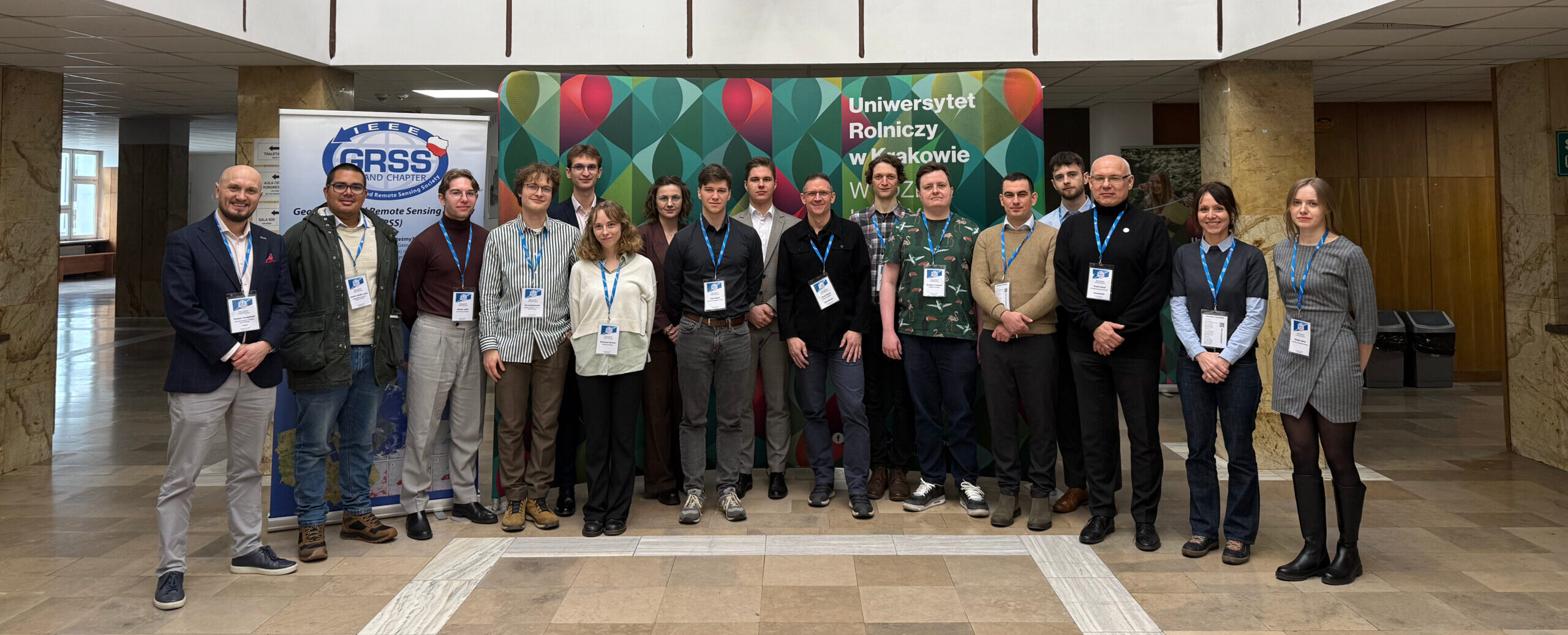
The international MLSpAnFOSS 2026 conference in Krakow was a success!
On February 18–20, 2026, the international conference “The Machine Learning and Spatial Analysis with Free Open Source Software Conference 2026” (MLSpAnFOSS) was held in Krakow. The event was organized by the Faculty of Forestry of the Hugo Kołłątaj University of Agriculture in Krakow, in cooperation with the IEEE GRSS chapters in Poland, Austria and Germany and the OSGeo PL community.
This year’s edition focused on the use of machine learning in open-source software environments, the analysis of large data sets, and the application of artificial intelligence methods in geospatial analysis. Over three days, participants took part in a rich program that included plenary and paper sessions, a poster session and five specialized computer workshops.
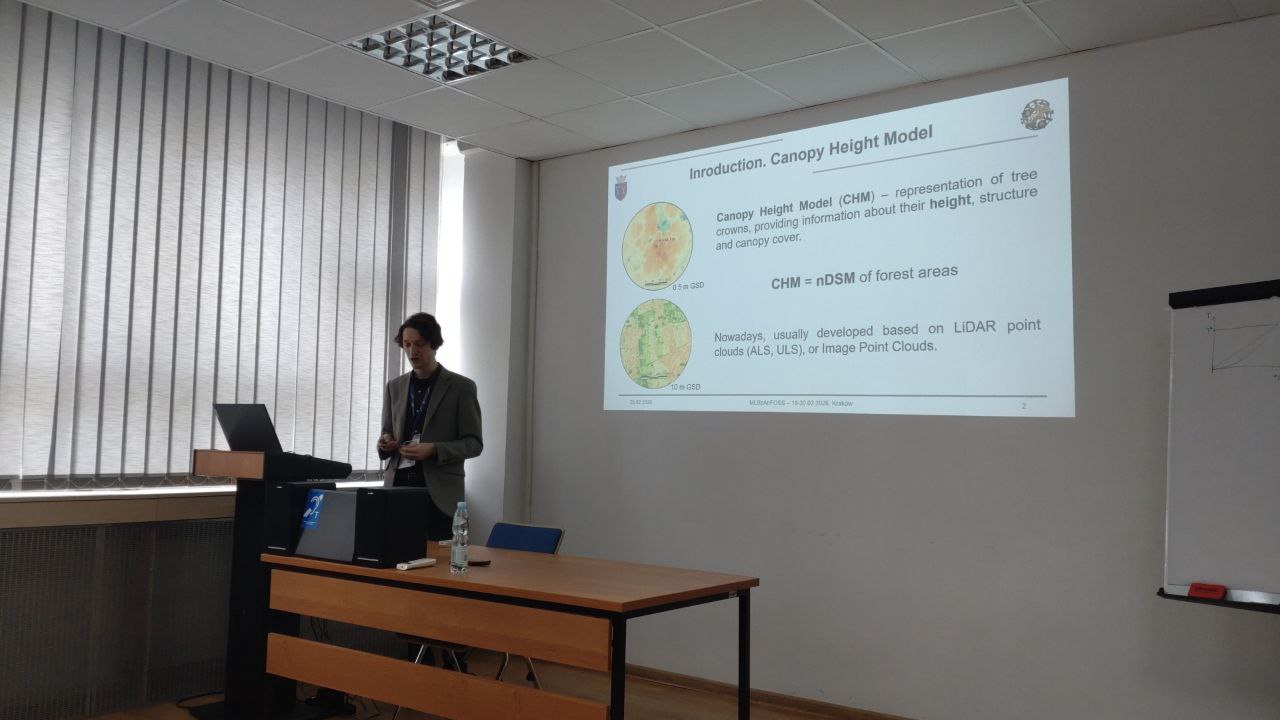
Day 1: Federated learning The first day opened with a lecture by Dr. Paweł Netzel entitled “An introduction to federated learning”. During the paper sessions, the speakers (including Andrés Castillo Leitón, Paweł Netzel and Maciej Lipski) addressed topics such as the impact of GeoAI on territorial management and spatial regression in urban analysis. The afternoon was dominated by workshops introducing Python scripting (Jupyter) and the practical aspects of federated learning.
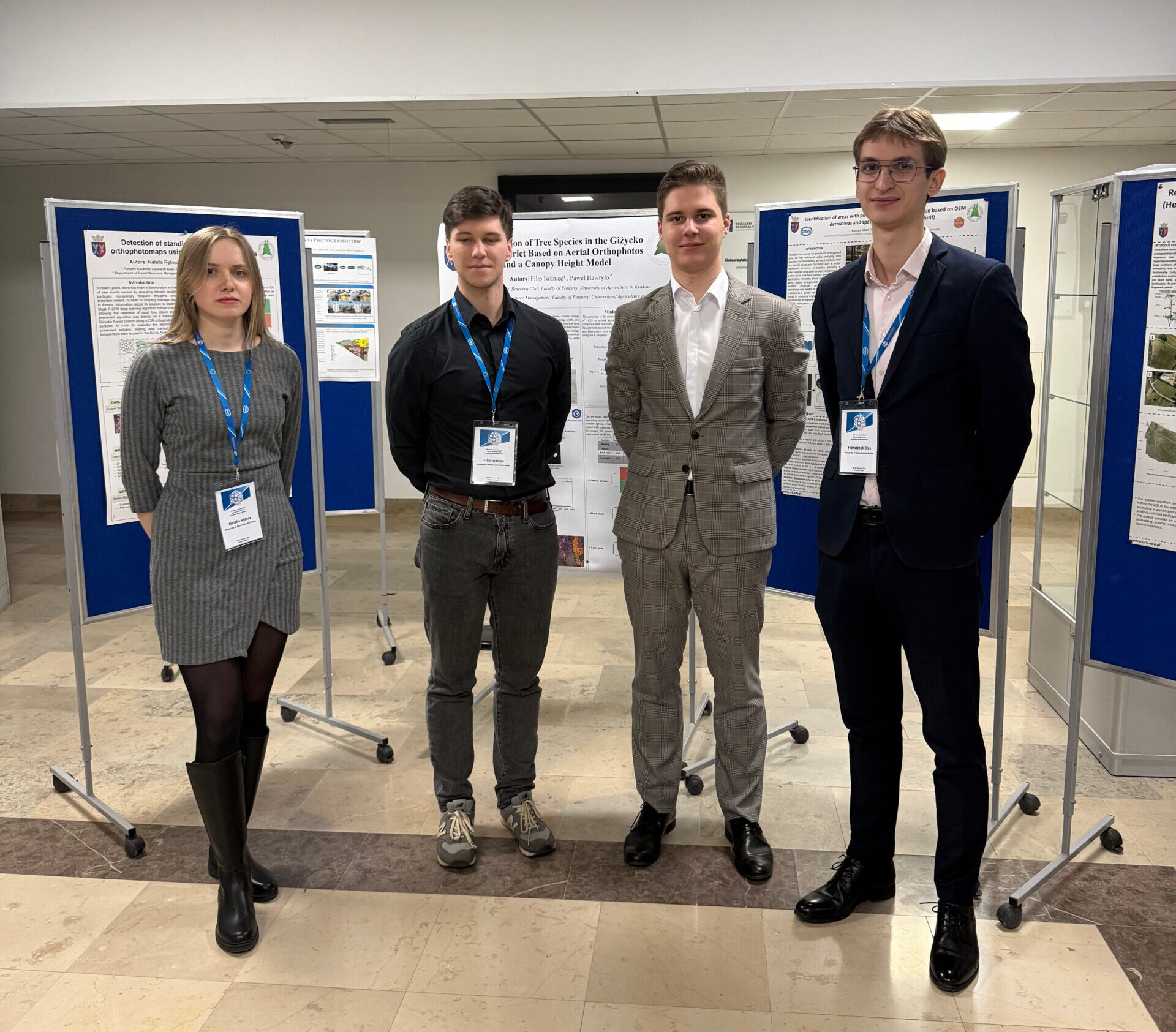
Day 2: Quantum computing and the poster session The second day of the conference was devoted to the technologies of the future. The introductory lecture “What is the quantum computation” was given by Artur Miroszewski. This was followed by a lively poster session presenting the results of environmental spatial analyses based on LiDAR, UAV and satellite data. Participants could also take part in a workshop on processing satellite remote sensing data on a quantum computer simulator.
Day 3: Canopy height models and GIS tools The last day brought further inspiring talks. The paper session covered, among other topics, the construction of a nationwide canopy height model (CHM) for southern Poland, the segmentation of geospatial data, and deep learning methods for ship classification in SAR imagery. The conference closed with workshops on the plMapcalc raster calculator and the tools of the GDAL library.
More information, including training materials from the workshops, is available on the official event website.