
Upcoming events
There are no scheduled events at the moment. Please check back soon!
Past events
The Machine Learning and Spatial Analysis with Free Open Source Software Conference 2026
We warmly invite you to take part in the first conference organized by IEEE GRSS Poland Chapter together with its co-organizers!
More information on the official conference website (link above).

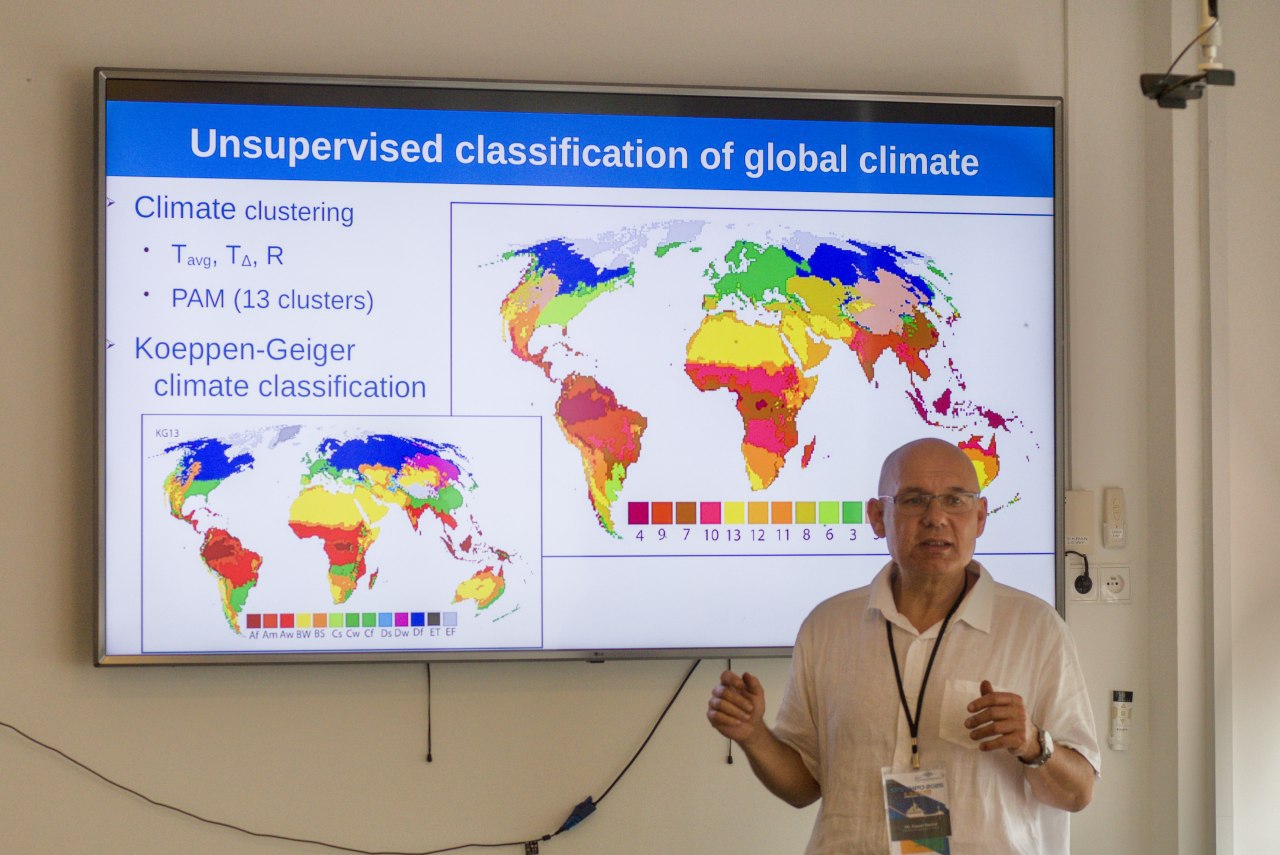
(SEMINAR) Innovative remote sensing with GNSS Reflectometry: From hurricanes to forests’ water stress
Event description
On behalf of the IEEE GRSS Germany Chapter, we warmly invite you to take part in an online seminar that we are co-organizing!
The seminar will be held online on December 10, 2025 at 14:00 CET.
Registration link above.
Abstract:
GNSS Reflectometry (GNSS-R) is a passive radar technique that uses navigation satellite signals for low-cost, high-frequency monitoring of the Earth’s surface. This talk presents recent advances showing that combining GNSS-R with modern artificial intelligence methods significantly enhances observational capabilities over oceans, land and forested areas. In the marine environment, AI algorithms improve the accuracy of wind speed estimates, including during heavy precipitation and extreme events such as Hurricane Laura (2020). On land, the technique provides reliable soil moisture estimates, while in forests it enables water stress monitoring by capturing sub-daily moisture variations that are invisible to conventional sensors. A self-supervised, multi-task GNSS-R model capable of simultaneously retrieving multiple geophysical parameters with limited training data requirements is also presented. These results confirm that AI-supported GNSS-R methods have the potential to become a key component of the next generation of Earth observation systems used in environmental monitoring and early warning systems.
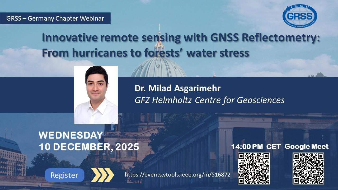
(TUTORIAL) GeoPAT: Spatial and Temporal Pattern Analysis Using a Similarity Approach
Event description
The tutorial will be devoted to the analysis of categorical spatial data and temporal data using a similarity-based approach. It will present GeoPAT (Geospatial Pattern Analysis Toolbox) – a set of modules for pattern-based spatial analysis, developed as part of a NASA project. GeoPAT enables, among other things, the search, overlay, clustering and segmentation of categorical images and time series. It has also been successfully used for the analysis of medical images and periodic signals.
Tutorial participants will learn the basic algorithms and workflows typical of pattern analysis with GeoPAT, as well as how to apply this approach to their own spatial and temporal data.
The tutorial will be led by Prof. Paweł Netzel of the University of Agriculture in Krakow – an expert in spatial analysis, data processing and free software, and Chair of GRSS Poland since 2024.
About the Signal Processing Symposium (SPSympo)
The Signal Processing Symposium (SPSympo) is an international scientific conference whose origins date back to 2003. It was initiated by Prof. Krzysztof Kulpa – the current Honorary Chair of SPSympo 2025 – who organized a session on digital signal processing and radar during the 12th IEEE-SPIE Symposium on Advanced Electronics.
Since 2005, SPSympo has operated as a standalone conference, organized with students and doctoral students from around the world in mind. The 2025 edition will be exceptional – the conference is entering its third decade, offering participants the opportunity to take an active part in lectures, workshops and scientific discussions in the areas of computer science, electronics and signal processing in the broad sense.
We especially invite students involved in student research clubs, for whom we have prepared a competition for the most innovative signal processing project – from signal/audio/image acquisition, through processing and transmission, to analysis in a variety of applications.

(WORKSHOP) Hands-on Workshop on Environmental Data Analysis and Artificial Neural Networks
Event description
The workshop will focus on building and applying artificial neural networks. It is aimed at beginners with basic computer skills. Participants will get to know the Jupyter Lab environment and elements of the Python language (no programming experience is required). They will also become familiar with selected tools from the scikit-learn and TensorFlow/Keras libraries. The goal of the workshop is to acquire practical skills in building artificial neural networks in order to create a regression model.
The workshop will last 2 hours. It will be held on June 5, 2025 in two groups:
Group I: 10:00–12:00
Group II: 12:00–14:00
The sessions will take place in the computer laboratory, room 156.
The workshop is organized by IEEE GRSS Poland Chapter and the Faculty of Forestry of the University of Agriculture in Krakow.

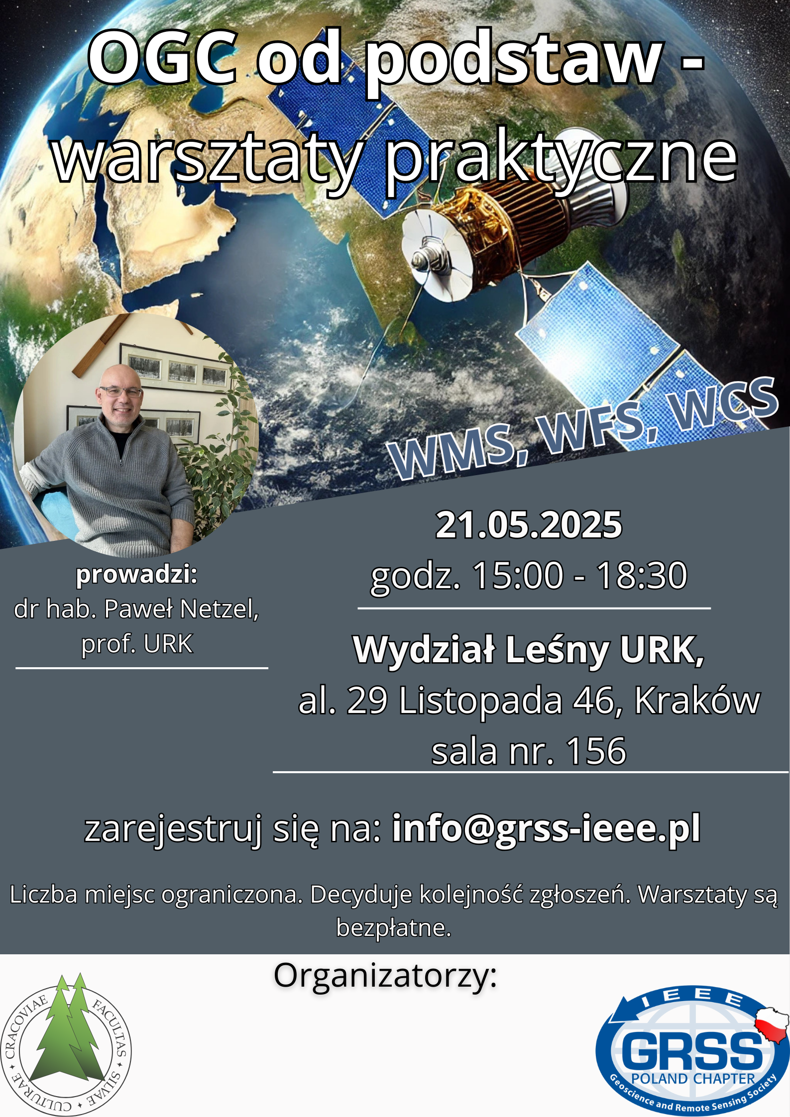
(WORKSHOP) OGC from the Ground Up – Hands-on Workshop
Event description
As the Polish chapter of IEEE GRSS, together with the Faculty of Forestry of the University of Agriculture in Krakow, we are organizing a workshop on sharing spatial data using OGC (Open Geospatial Consortium) services.
Examples of such services include WMS (Web Map Service), WFS (Web Feature Service) and WCS (Web Coverage Service). OGC services are now the standard for sharing spatial data on the Internet and form the backbone of map portals.
The workshop will be held in person in Krakow at the Faculty of Forestry of the University of Agriculture and is aimed at beginners. It covers the server side of the data publishing process. During the workshop, participants will master software installation, registering data for publication, data styling, and optimizing the performance and speed of data delivery over the network. Only Free and Open Source Software (FOSS) will be used to publish the data. The expected duration of the workshop is 3.5 hours.
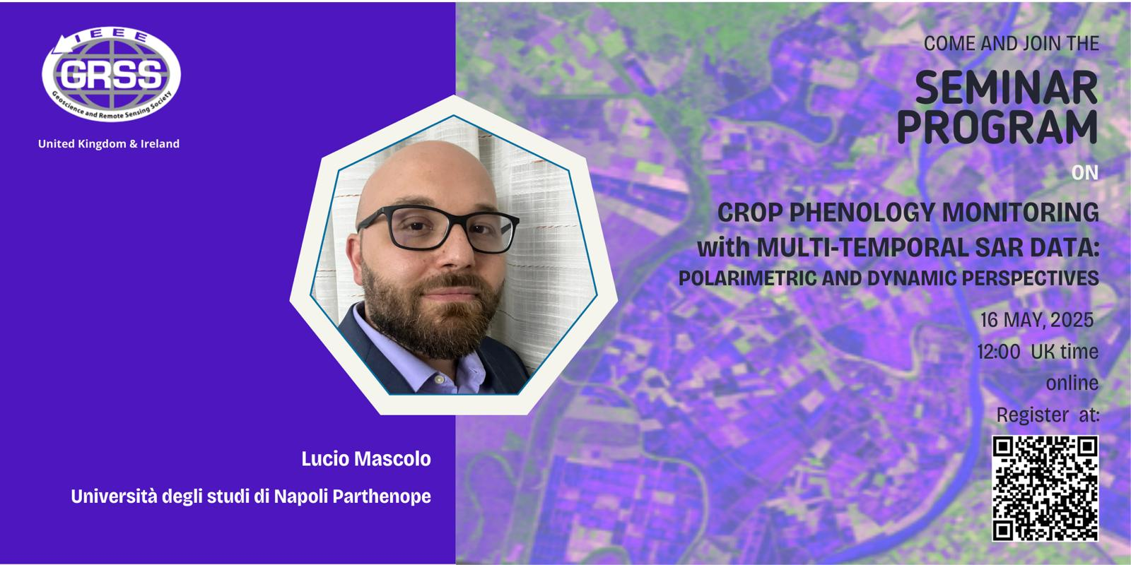
(SEMINAR) Crop Phenology Monitoring with Multi-Temporal SAR Data: polarimetric and dynamic perspectives
Event description
On behalf of the IEEE GRSS UK & Ireland Chapter, we warmly invite you to take part in an online seminar!
The seminar will be held online on May 16, 2025 at 12:00 UK time (13:00 Polish time).
Registration link above.
Abstract:
From sowing to harvest, agricultural crops pass through successive development stages, known as phenology, which reflect their growth status. Timely information on phenological stages is key to effective agricultural management, yield forecasting and the assessment of potential losses. The most accurate phenological data come from weekly field observations, but such campaigns are not feasible over large agricultural areas. In this context, remote sensing is a powerful tool.
Synthetic aperture radar (SAR) is an active microwave sensor that enables day-and-night observations in almost any weather conditions, offering high spatial resolution and sensitivity to the structural and dielectric properties of plants and soil. By exploiting the vector nature of microwaves, polarimetric SAR (PolSAR) imaging provides even greater sensitivity to the structural characteristics of plants (such as orientation or shape) and to their dielectric properties (related to water content). Since these properties change as plants develop, multi-temporal PolSAR images have been successfully used for crop phenology monitoring.
Spaceborne radar systems offer a variety of polarimetric modes and guarantee regular, temporally dense observations throughout the growing season. The seminar will present an overview of phenology monitoring methods using PolSAR data, including polarimetric approaches to the identification of development stages and techniques for retrieving phenological information – from classification to modern dynamic strategies.
11th Wrocław GIS DAY - "GIS - A Window onto the World"
We encourage you to pass this information on to your students and to support their participation in this event! Due to the limited number of places, please inform students that prior registration is required.
Registration for the workshop opens at 12:00 via this form.