

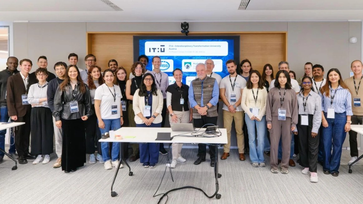
On October 14–16, 2026, Linz hosted the IEEE GRSS School “Earth Observation and GeoAI for Climate-Resilient Urban Systems”. IEEE GRSS Poland Chapter was one of the co-organizers, and our Chair, Prof. Paweł Netzel, served on the organizing committee and led one of the sessions.
The three-day school was organized by the IEEE GRSS Austria Chapter together with the IEEE Austria Section, co-organized by the IEEE GRSS Italy Chapter and the IEEE GRSS Poland Chapter. It was hosted by IT:U – Interdisciplinary Transformation University Austria, with Paris Lodron University Salzburg (PLUS) as partner. Participation was free of charge and places were awarded through a competitive selection: out of 172 applications from 49 countries, 36 people were selected, 12 of them with travel grants. On site, 31 participants worked with 14 speakers, joined by guests from the companies supporting the school.
Three days, one workflow
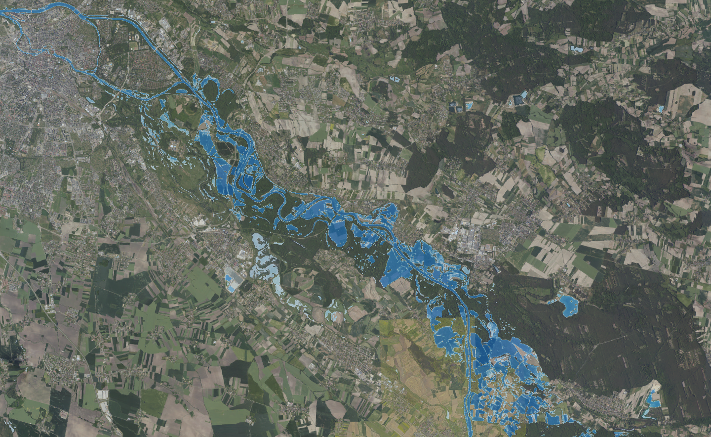
The programme followed a single workflow: observe, integrate, understand, act. Each day had its own theme: understanding the city, mapping risk, and building resilience. Seven of the thirteen sessions were hands-on, using Python notebooks, SNAP, QGIS, and Google Earth Engine. Participants combined optical, radar (SAR and InSAR), and thermal data with in-situ measurements and citizen-generated data to assess and reduce climate risk in cities: from flood mapping and damage assessment, through urban heat islands, to data cubes and digital twins.
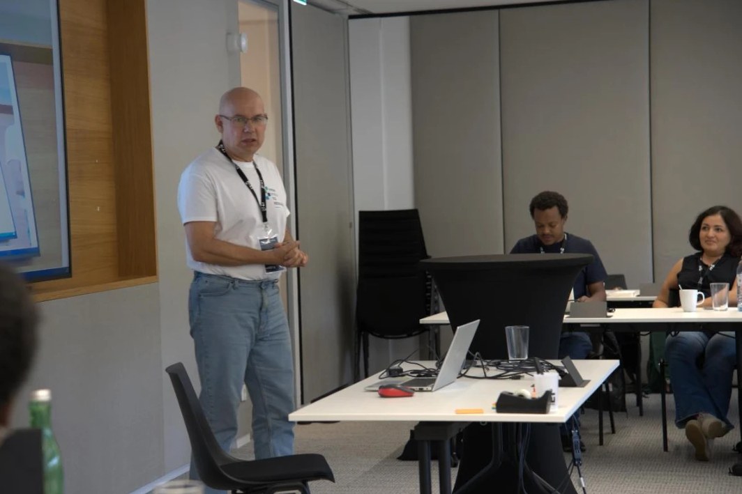
Prof. Paweł Netzel of the University of Agriculture in Krakow led the session “Atmospheric Boundary Layer over Cities”. He showed how SODAR echograms can be converted into hourly convection and inversion labels, and how an LSTM model forecasts them up to six hours ahead from routine weather-station data. The method was applied to land-cover rasters of Wrocław, using PyTorch, ONNX, Numba, and plMapcalc.
What participants took home
- flood mapping: from Sentinel-1 scenes to flood-extent maps in SNAP and Earth Engine, plus AI-based approaches combining optical and SAR data,
- urban heat island: land surface temperature, spectral indices, and station data used to diagnose a real heat event, with its uncertainty stated,
- forecasting atmospheric boundary-layer states and enriching mobility data with satellite imagery, OpenStreetMap, and street-level photos,
- building analysis-ready Zarr data cubes from satellite climate products,
- their own project: each group prepared an idea and an implementation plan for applying the school’s methods in their own research.
Participants received a certificate equivalent to 1 ECTS credit. We thank the organizers from Austria and Italy for the collaboration and congratulate all participants. We are glad that IEEE GRSS Poland Chapter could help shape this event.