

The first steps of IEEE GRSS Poland Chapter! During the 11th Wrocław GISDay 2024, we co-organized a workshop that showcased practical applications of remote sensing and spatial data analysis.
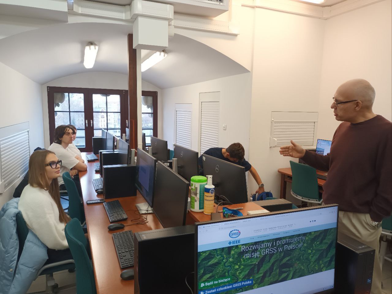
On November 21, as part of the events held at three Wrocław universities (Wrocław University of Science and Technology, Wrocław University of Environmental and Life Sciences and the University of Wrocław) during the 11th Wrocław GISDay 2024, a computer workshop entitled "Is a calculator enough to work with spatial data?" took place.
The session, organized with the support of IEEE GRSS (Geoscience and Remote Sensing Society) and OSGeo Poland, was held in the Geographic Information Systems Laboratory of the Department of Geoinformatics and Cartography. The workshop was led by Paweł Netzel, DSc, Associate Professor (Hugo Kołłątaj University of Agriculture in Krakow) and Jacek Ślopek, PhD, of the Department of Geoinformatics and Cartography.
The workshop participants (students of Wrocław University of Science and Technology and the University of Wrocław) could explore the capabilities of plMapcalc – an open-source raster calculator that can effectively support geoinformatics specialists in their everyday spatial data processing tasks.